


Lac d'Aude

dmatignon
User


Length
13 km

Max alt
2201 m

Uphill gradient
438 m
Km-Effort
18.8 km

Min alt
1798 m

Downhill gradient
439 m
Boucle
Yes
Creation date :
2019-08-05 06:48:52.271
Updated on :
2019-08-05 14:42:24.063
5h35
Difficulty : Medium

FREE GPS app for hiking
 SityTrail
IGN / Geographical institutes
SityTrail Plus
The world is yours!
About
Trail Walking of 13 km to be discovered at Occitania, Pyrénées-Orientales, Les Angles. This trail is proposed by dmatignon.
Description
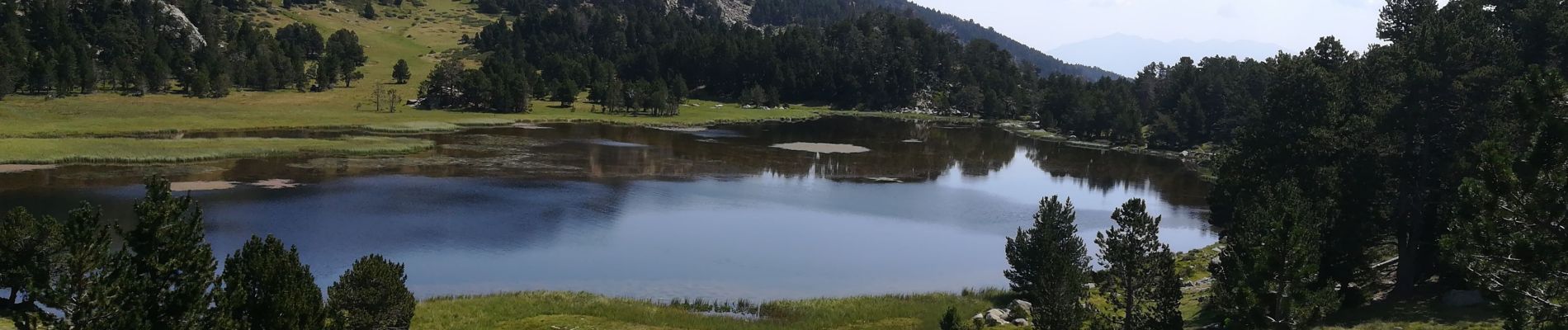
Randonnée partant du Pla del Mir jusqu'au lac d'Aude (source de l'Aude ?). vues sur les massifs du Canigou et du Carlit.
Photos

Positioning
Country:
France
Region :
Occitania
Department/Province :
Pyrénées-Orientales
Municipality :
Les Angles
Location:
Unknown
Start:(Dec)
Start:(UTM)
423277 ; 4712748 (31T) N.
Comments